
How Mississauga is organized
The city runs roughly twenty kilometres from the Etobicoke Creek in the east to the Oakville border in the west, and from Lake Ontario north to Highway 407. The Credit River cuts through the middle on a diagonal and most of the older, leafier neighbourhoods sit along it or along the lake: Port Credit, Mineola, Lorne Park, Clarkson, Streetsville, Erindale and the old Meadowvale Village.
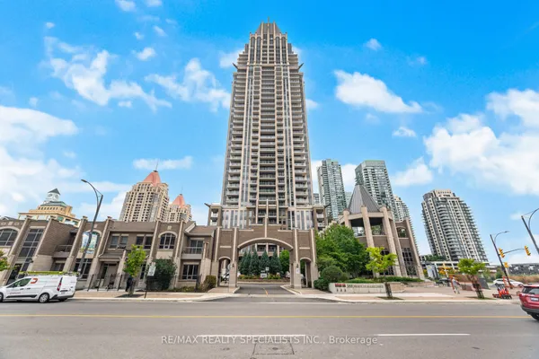
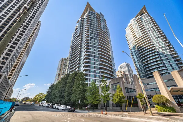
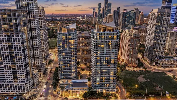
The postwar subdivisions fill the middle: Applewood, Rathwood, Cooksville, Mississauga Valleys and Sheridan. The 1980s and 1990s master-planned communities sit west of the river: Erin Mills, Central Erin Mills, Meadowvale, East Credit and Lisgar. Churchill Meadows, the last large greenfield build, wrapped up in the 2010s along the Oakville line. City Centre, around Square One, is where almost all of the high-rise growth has landed since the 2000s, with Hurontario and Cooksville following as the LRT corridor fills in.
The MLS® system divides the city into named communities that match these areas closely. The neighbourhood pages on this site use those same boundaries, so the statistics you see here line up with what an agent sees in the system.