
Mississauga neighbourhood guide

Port Credit

Port Credit is Mississauga's waterfront village, the former town at the mouth of the Credit River that was laid out as a village in 1834, became a police village in 1909, a town in 1961 and part of Mississauga in 1974. Lakeshore Road is the main street, with restaurants, patios, the Port Credit Library at 20 Lakeshore Road East and the replica lighthouse at the river, the city's official symbol. Port Credit GO on the Lakeshore West line, at 30 Queen Street East since 1967, gives you all-day trains to Union, and the Hazel McCallion Line light rail will end here. South of Lakeshore, the Old Port Credit Village Heritage Conservation District protects streets of mid-1800s houses between Mississauga Road and the river. Between the marina, J.C. Saddington Park, Memorial Park and the Waterfront Trail, you are never far from the lake. People move here for the walk-to-everything village life, the Southside Shuffle and the Saturday farmers' market, and because Brightwater is turning the old Imperial Oil lands west of the river into a new lakeside district with parks and shops.

Port Credit homes by the numbers

Live from the MLS® feed · updated September 19, 2026

98 For sale now
40 New in 30 days
$1,219,500 Median asking price Middle half $729K to $1.7M
$809 Asking price per sq ft
45 days Median days listed
12% Listings with a price cut Median cut 5.7%

What is for sale: 47 condos · 25 detached homes · 16 townhouses · 10 semi-detached homes

Newest Port Credit homes for sale

See all 103 listings
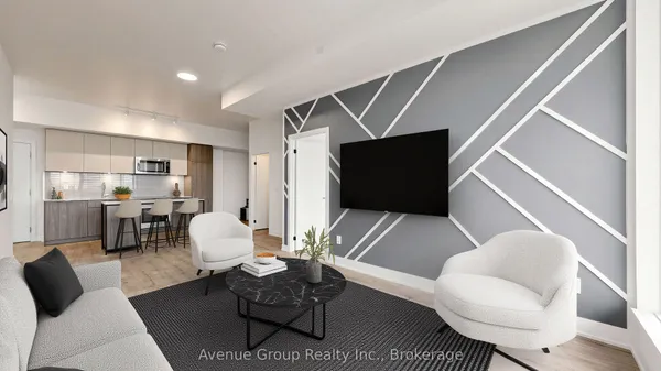
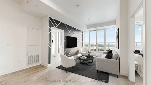
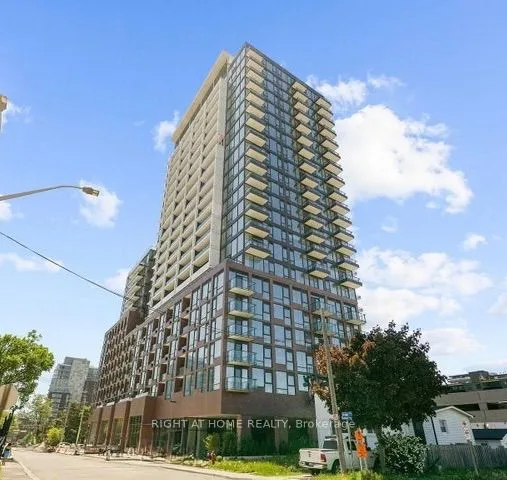
220 Missinnihe Way
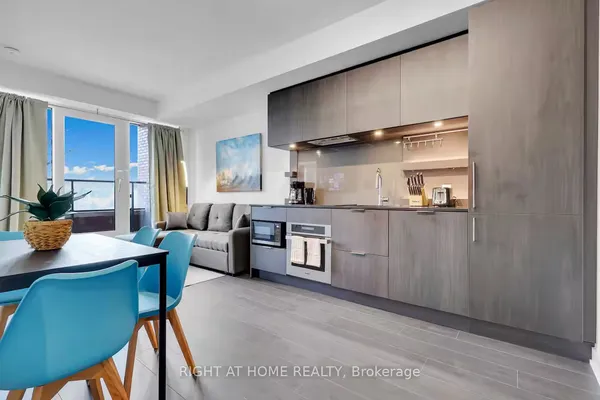
220 Missinnihe Way — photo 2
1 / 40
New
For Sale
$965,000
3 bd · 2 ba
220 Missinnihe Way, Mississauga
2 days on market
MLS® W13794942 · Avenue Group Realty Inc.
Contact agent

New Port Credit homes for sale land here first. Save this search and we email you the moment one is listed.

Where Port Credit sits

Lake Ontario to the south and the Lakeshore West rail corridor to the north, running from about Shawnmarr Road on the west to Seneca Avenue on the east, with the Credit River and its harbour through the middle and Hurontario Street meeting Lakeshore Road at the centre.

The homes you will find

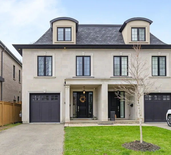
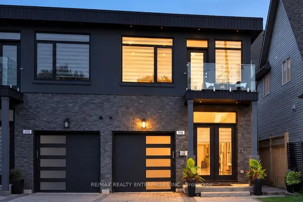
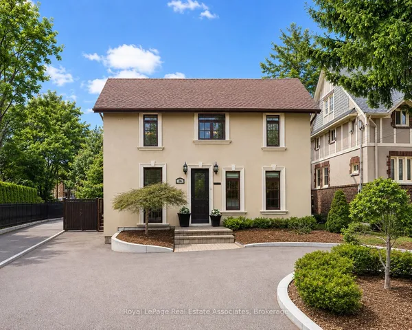
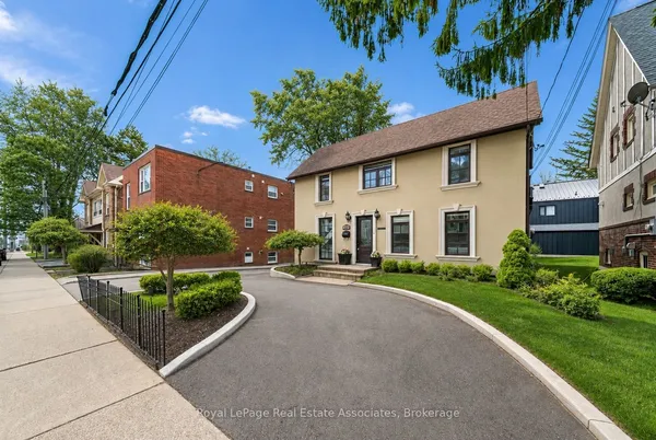
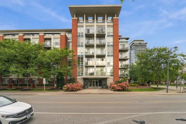
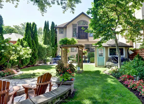
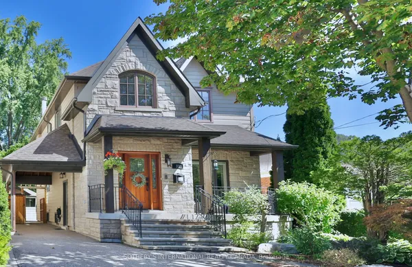
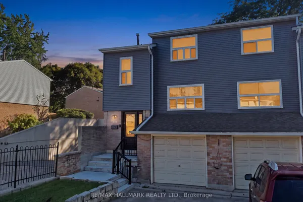
Port Credit's housing tells its history in layers. South of Lakeshore Road West, inside the heritage district, you find mid-1800s and early 1900s houses on the village plot of 1835. North of Lakeshore and across the eastern streets toward Seneca Avenue are postwar bungalows and storey-and-a-half homes on generous tree-lined lots, many now rebuilt as larger two-storey houses. FRAM and Slokker's Port Credit Village, on the former St. Lawrence Starch site east of the river bought in 1998, added 185 brick townhouses including 18 live-work units, three mid-rise condominiums and a block of shops on Lakeshore. Tanu, Edenshaw's 15-storey building of 204 suites at 21 Park Street East, and older mid-rise condos along Lakeshore and Hurontario round out the condo stock. West of the river, Brightwater's 72 acres are being built out with about 2,995 homes, 150 of them affordable, in condominiums and townhomes; 725 units have been delivered and a further 898 were approved in fall 2024.

Getting around

Port Credit GO Station on the Lakeshore West line is the anchor, with two-way all-day service seven days a week between Union Station and the west, 946 parking spaces, and MiWay routes 2, 8, 14 and 23 meeting at the bus loop; Metrolinx has been adding 15-minute service in more periods, including weekend afternoons and evenings between Oakville and Union. The Hazel McCallion Line will start at Port Credit GO and run north on Hurontario with stops at Port Credit, Mineola and North Service on its way to Cooksville and City Centre, with construction expected to finish in 2028 and an opening date to follow testing. The QEW is a few minutes north on Hurontario or Mississauga Road, and Lakeshore Road connects east to Toronto and west to Clarkson and Oakville. The Waterfront Trail links the parks for cyclists.

Schools

Port Credit Secondary School at 70 Mineola Road East, the first secondary school in Peel and past its centenary, is the public high school, fed by Forest Avenue Public School at 20 Forest Avenue, Riverside Public School west of the river and Mineola Public School to the north. Dufferin-Peel Catholic students attend St. Luke Catholic Elementary School and then Iona Catholic Secondary or St. Paul Secondary. Mentor College, a private school with its main campus on the original Port Credit Secondary site on Forest Avenue and a primary campus nearby, is the private option. French immersion is available within the Peel board. Sheridan's Hazel McCallion Campus and the University of Toronto Mississauga are each a bus or car ride away. Brightwater's plan includes a future elementary school site. Confirm catchments with the boards, especially for addresses west of the river.

Parks, shopping and daily life

The lake and river do the heavy lifting. J.C. Saddington Park and Marina Park on the west bank, Port Credit Memorial Park at Lakeshore and Stavebank on the east, and the Waterfront Trail tie the shoreline together, with the Rhododendron Gardens further west on Lakeshore Road West showing hundreds of varieties each spring. The harbour holds a marina and charter fishing boats, and the lighthouse marks the river mouth. Lakeshore Road is a walkable strip of restaurants, cafés and pubs, and the Port Credit Farmers' Market runs Saturdays from June to October in the library lot at 20 Lakeshore Road East. The Southside Shuffle blues and jazz festival, founded in 1999, takes over the village each September, the Waterfront Festival lands in late June and Busker Fest in August. Brightwater is adding a village square with restaurants and 18 acres of parks and trails on the west side. The Port Credit Library covers the everyday needs.

Who it suits

Port Credit suits people who want to walk to a main street and a GO station, which means downsizers trading a big house for a condo near Lakeshore, professionals commuting to Union on the Lakeshore West line, and families who want a village with its own schools and waterfront. Buyers who love older houses find heritage homes and postwar bungalows to restore or rebuild. Investors focus on condos near the station and Brightwater. If you need a large new detached house with a double garage, the newer subdivisions in the north of Mississauga will serve you better.

Questions people ask about Port Credit

How long is the commute to Union Station from Port Credit?

Port Credit GO is on the Lakeshore West line with two-way, all-day trains seven days a week, and Metrolinx has expanded 15-minute service in more periods between Oakville and Union. Most residents walk or bus to the station, which has 946 parking spaces. Check the current GO schedule for exact trip times, since they vary by stop pattern.

What is happening with Brightwater?

Brightwater is the redevelopment of the 72-acre former Imperial Oil lands west of the river by Port Credit West Village Partners. The plan calls for about 2,995 homes including 150 affordable units, 300,000 square feet of retail and offices, 18 acres of parks and a future school; 725 homes have been delivered and 898 more were approved in fall 2024, with a village square and restaurants opening in 2026.

What are the heritage rules in Port Credit?

The Old Port Credit Village Heritage Conservation District, designated in 2004 under the Ontario Heritage Act with an updated plan in force since January 2020, covers the area south of Lakeshore Road West between Mississauga Road and the Credit River. Exterior changes, additions and demolitions there need heritage permits, so review the district plan before you buy or renovate.

Is Port Credit at risk of flooding?

The Credit River can rise quickly in storms and Credit Valley Conservation issues flood watches for low-lying areas along it, while the City completed a Port Credit Storm Drainage Master Plan to address drainage as infill and climate change add pressure. Check the floodplain mapping for any property near the river or the lake and ask about past basement water.

What is planned for 1 Port Street East?

Canada Lands Company owns the 7.4-hectare marina site east of the river. A master plan approved by City Council in 2016 and an official plan amendment in 2017 call for mixed-use housing, a new public marina, parks and an extended waterfront trail, and the province approved the marina's environmental assessment on June 5, 2026. Construction timing has not been announced.

Sources: en.wikipedia.org · en.wikipedia.org · metrolinx.com · metrolinx.com · metrolinx.com · en.wikipedia.org