

Mississauga neighbourhood guide

Creditview

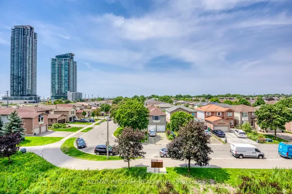
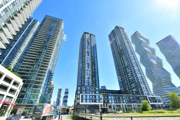
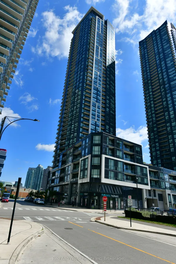
Creditview is the family neighbourhood between the Credit River and the city centre, built mostly from the 1970s to the early 2000s on curving streets off Rathburn Road West, Creditview Road and Burnhamthorpe Road West. Erindale GO Station sits inside it at 1320 Rathburn Road West, just east of the river, and Highway 403 forms the north edge, so it is one of the few places in Mississauga where you can have a detached house, a GO train and a highway ramp within a few minutes of each other. The west side is the draw: Creditview Woods on Rathburn Road West, Credit Meadows off Creditview Road with its new pedestrian bridges over the river, and Erindale Park, the city's largest, just across the rail line on Dundas Street West. The east side, near Mavis Road and up to Confederation Parkway, has turned vertical, with the Parkside Village condominium towers and mid rise buildings along Rathburn Road West giving first time buyers a way in. Shopping clusters on Burnhamthorpe, Mavis and Eglinton, and Square One is one neighbourhood over.

Creditview homes by the numbers

Live from the MLS® feed · updated September 19, 2026

50 For sale now
24 New in 30 days
$606,000 Median asking price Middle half $491K to $899K
$646 Asking price per sq ft
32 days Median days listed
18% Listings with a price cut Median cut 3.4%

What is for sale: 31 condos · 17 detached homes · 2 townhouses

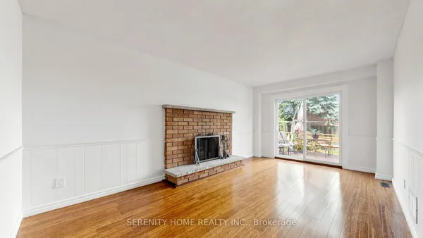
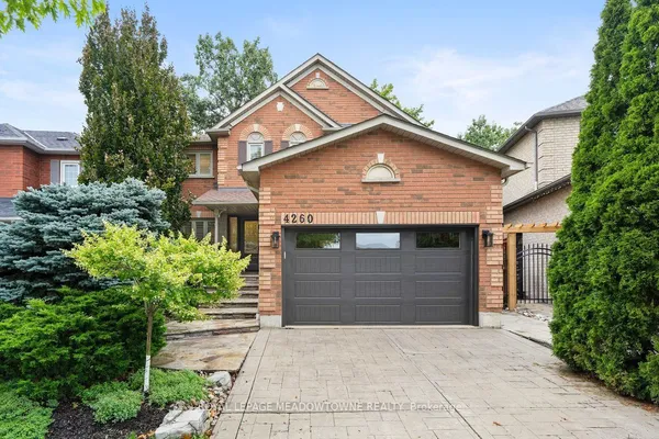
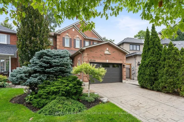
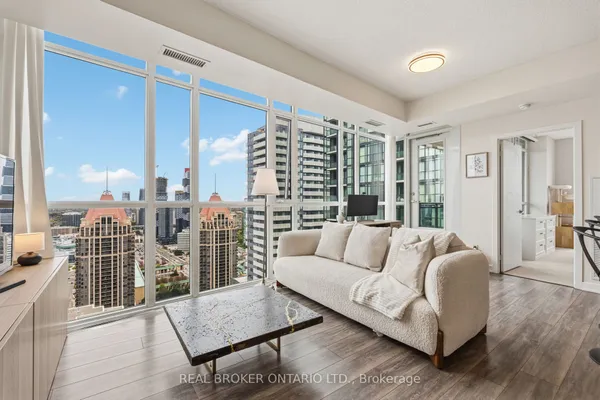
Newest Creditview homes for sale

See all 50 listings
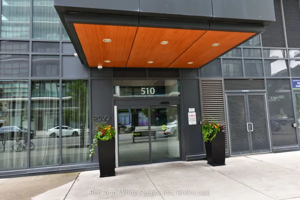
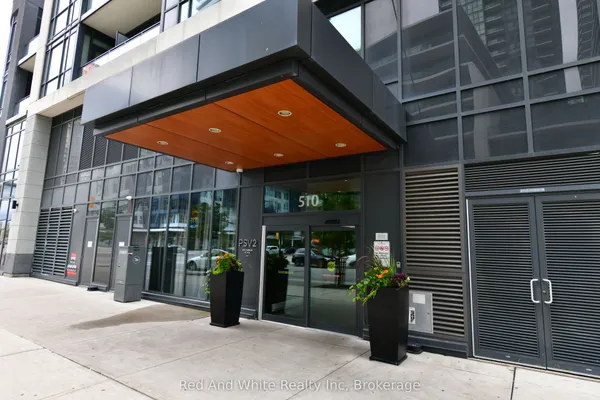
4020 Parkside Village Drive
4020 Parkside Village Drive — photo 2
1 / 40
New
For Sale
$699,000
3 bd · 3 ba
4020 Parkside Village Drive, Mississauga
2 days on market
MLS® W13795784 · RE/MAX IMPERIAL REALTY INC.
Contact agent

New Creditview homes for sale land here first. Save this search and we email you the moment one is listed.

Where Creditview sits

Creditview runs from Highway 403 in the north to the CPKC rail line used by Milton GO trains in the south, and from the Credit River valley in the west to Mavis Road in the east, with the TRREB boundary extending east to Confederation Parkway north of Burnhamthorpe Road West to take in the Parkside Village towers.

The homes you will find

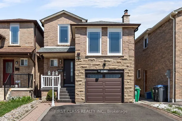
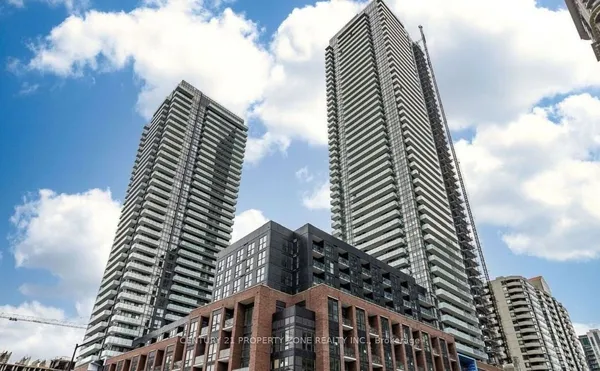
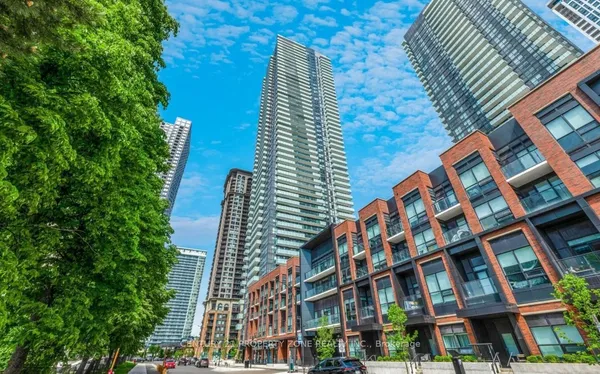
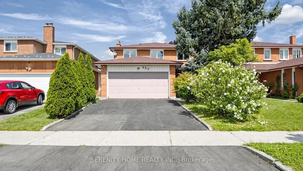
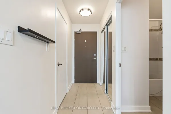
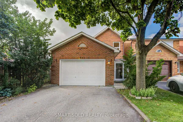
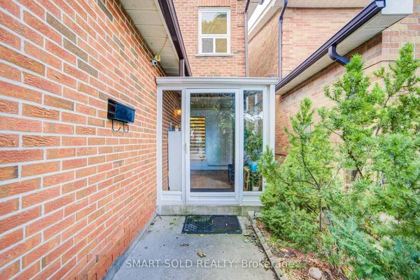
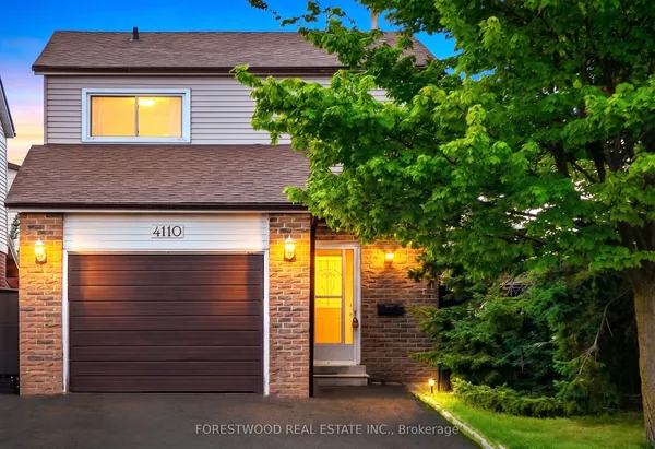
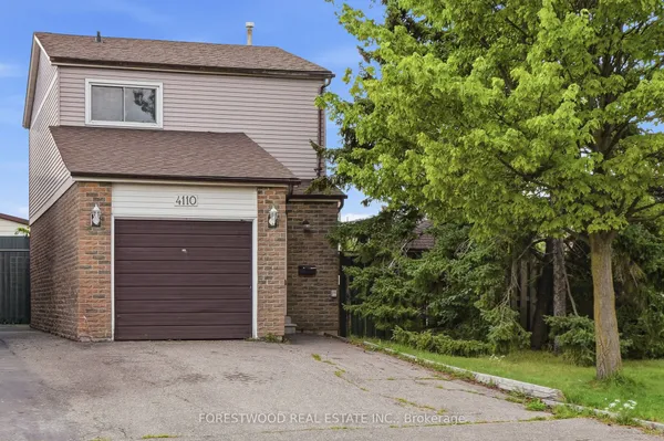
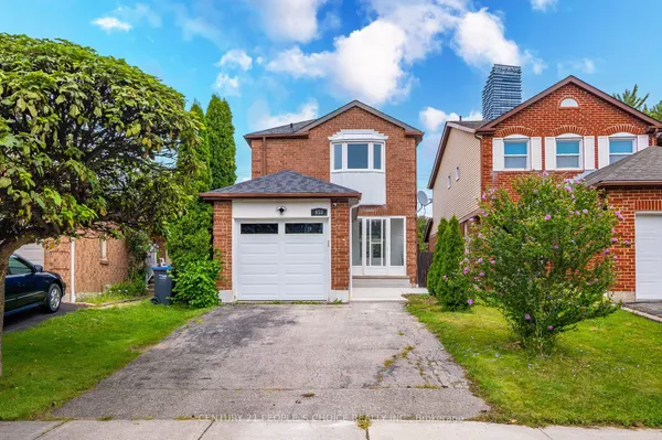
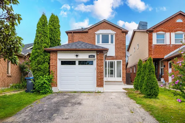
Detached homes dominate Creditview, and they are newer and more uniform than the century villages around them: solid brick two storeys from the 1970s, 1980s and 1990s on crescents and courts, typically with double garages, four bedrooms and a family room, plus a wave of early 2000s homes on the last infill parcels. Streets near Creditview Road back onto the river valley and the Credit Meadows trails, which is where ravine lots are found. Semi detached homes, link houses that share a garage wall, and freehold townhouse rows appear through the middle of the neighbourhood, particularly in the 1980s phases. Condominiums cluster at the east end: mid rise and high rise buildings along Rathburn Road West between Mavis Road and Confederation Parkway, and the newer Parkside Village towers at Parkside Village Drive and Confederation Parkway on the City Centre edge, with suites that skew to one and two bedrooms. Because most homes are 25 to 50 years old, roofs, furnaces and windows have usually been replaced once, and finished basements are the norm.

Getting around

Erindale GO Station at 1320 Rathburn Road West is on the Milton line, with a multi level parking structure completed in 2014 that brought the station to 770 spaces, and it also serves GO bus route 21 on the Milton and Toronto corridor. MiWay routes 6 Credit Woodlands, 9 Rathburn, 26 Burnhamthorpe, 38 Creditview and 126 Burnhamthorpe Express meet at the station; route 9 continues to City Centre Transit Terminal and route 38 runs south to Cooksville GO. Highway 403 has interchanges at Mavis Road and Erin Mills Parkway, the Mississauga Transitway runs beside the 403 toward Square One and the airport corporate area, and Highway 401 is reached north via Mavis Road. Downtown commuters generally choose the Milton line or the 403 to the QEW.

Schools

Peel District School Board elementary schools serving Creditview include McBride Avenue Public School and Queenston Drive Public School, and the neighbourhood is close to The Woodlands School at 3225 Erindale Station Road, a grade 7 to 12 school opened in 1969 that hosts the board's Regional Enhanced Program for gifted students. Dufferin-Peel Catholic schools include St. Gerard Catholic Elementary School at 1300 McBride Avenue inside the neighbourhood, with St. David of Wales on Beacon Lane and Corpus Christi on Elora Drive nearby; residents west of Mavis Road feed St. Joseph Catholic Secondary School at 5555 Creditview Road, just north of the 403. The University of Toronto Mississauga is south across Dundas Street West on the Credit River. Boundaries change with enrolment, so confirm the assigned schools for any address with both boards.

Parks, shopping and daily life

Green space is Creditview's strength. Creditview Woods at 899 Rathburn Road West is a wooded 5.3 acre park with winding trails; Credit Meadows, entered from Creditview Road, expanded in 2025 with two pedestrian bridges across the Credit River and multi use trails that connect the parking lot to the valley; and Woodington Green on Woodington Drive has a playground, a soccer field and two lit bocce courts. Across the rail line, Erindale Park at 1695 Dundas Street West is Mississauga's largest park, with river trails, salmon and trout fishing and a tobogganing hill, and the Culham Trail runs the valley north to Streetsville. Shopping and restaurants line Burnhamthorpe Road West, Mavis Road and Eglinton Avenue West, with Square One, its more than 360 stores and Celebration Square east across Confederation Parkway, and Heartland Town Centre a short drive north on Mavis.

Who it suits

Creditview suits families who want a 1980s or 1990s detached home with a double garage and a finished basement, ravine and trail access on the Creditview Road side, and schools inside the neighbourhood. Commuters like it because Erindale GO and the 403 are both inside its boundaries. First time buyers and investors look at the Rathburn Road West condos and Parkside Village towers, which put City Centre within walking distance at a lower entry point than a house. It is less suited to buyers who want century character or a walkable main street.

Questions people ask about Creditview

Where is Creditview?

In west central Mississauga between the Credit River and Mavis Road, south of Highway 403 and north of the CPKC rail line that carries Milton GO trains. Erindale GO Station is inside the neighbourhood on Rathburn Road West, and Square One is just east across Confederation Parkway. Streetsville, Central Erin Mills and Erindale are the neighbours.

Which GO station do I use?

Erindale GO at 1320 Rathburn Road West, on the Milton line. Weekday trains run toward Union Station in the morning and back in the afternoon, with GO buses at other times. A parking structure completed in 2014 raised the station to 770 spaces, and five MiWay routes stop there, including 9 Rathburn and 38 Creditview.

What is Credit Meadows?

A riverside park entered from Creditview Road that the City is expanding in phases under its Credit River Parks Strategy. Phase 1 opened in July 2025 with two pedestrian bridges over the Credit River, multi use trails from the parking lot to the bridges and interpretive signage, tying the neighbourhood into the wider valley trail network.

Are there condos in Creditview?

Yes, at the east end. Mid rise and high rise buildings line Rathburn Road West between Mavis Road and Confederation Parkway, and the Parkside Village towers on Parkside Village Drive and Confederation Parkway fall within the TRREB Creditview boundary. The rest of the neighbourhood is low rise, mostly detached homes from the 1970s to early 2000s.

How are the schools?

Peel schools such as McBride Avenue Public School serve the elementary grades, The Woodlands School on Erindale Station Road covers grades 7 to 12 with a gifted program, and St. Gerard Catholic Elementary on McBride Avenue serves Catholic families, who feed St. Joseph Catholic Secondary on Creditview Road. Confirm catchments with the boards for your specific street.

Sources: en.wikipedia.org · mississauga.ca · mississauga.ca · mississauga.ca · en.wikipedia.org · en.wikipedia.org