Where Lisgar sits
Lisgar is Mississauga's northwest corner: the CPKC rail line and the Highway 401 corridor to the north, Tenth Line West to the east, Britannia Road West to the south, and Ninth Line and Highway 407 to the west at the Milton border.

Mississauga neighbourhood guide
Lisgar is the newest corner of Mississauga and one of the last to be built, home to about 33,100 people at the 2016 census. The name goes back to a nineteenth century hamlet at Derry Road and Winston Churchill Boulevard, first called Switzer's Corners and renamed in 1871 for Lord Lisgar, Governor General of Canada from 1869 to 1872; Eden Cemetery at Derry Road West and Shelter Bay Road is all that remains of it. The modern community started in 1986 with Trelawny, a subdivision built entirely on cul-de-sacs around Trelawny Circle, and by 1996 about two thirds of the area was developed. Today it is a grid of family streets between Tenth Line and Ninth Line, with Lisgar GO Station on the Milton line at Argentia Road, the Metro plaza at Derry Road West and Tenth Line, Osprey Marsh and its trails to the south, and Lisgar Fields on Doug Leavens Boulevard in the middle. People move here for newer detached homes, a school inside the neighbourhood at every level, and quick access to Highways 401 and 407 for commutes in any direction.
Live from the MLS® feed · updated September 19, 2026
What is for sale: 35 detached homes · 11 semi-detached homes · 9 townhouses
Sold prices, sale-to-list ratios and days on market are available to registered visitors. Sign in or create a free account to see them.
Based on information from the Toronto Regional Real Estate Board.
New Lisgar homes for sale land here first. Save this search and we email you the moment one is listed.
Lisgar is Mississauga's northwest corner: the CPKC rail line and the Highway 401 corridor to the north, Tenth Line West to the east, Britannia Road West to the south, and Ninth Line and Highway 407 to the west at the Milton border.
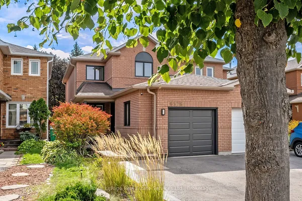
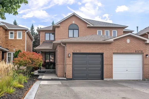
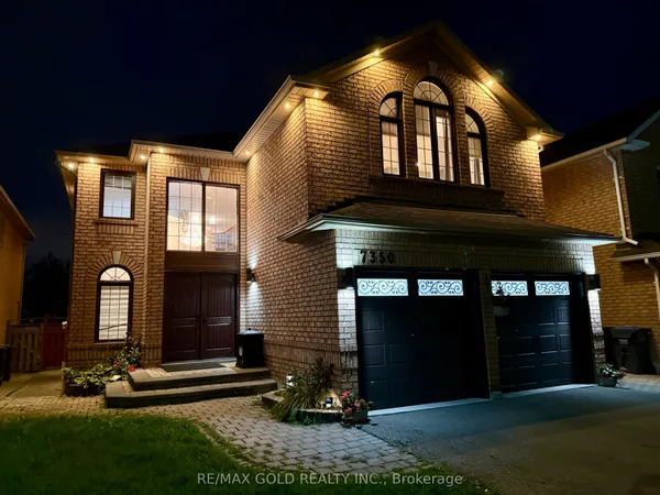
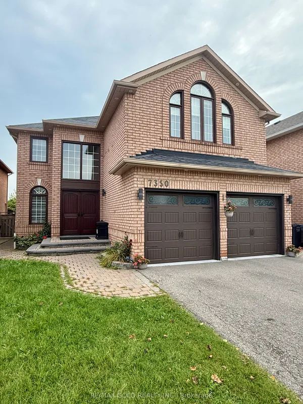
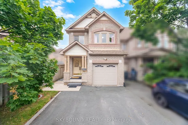
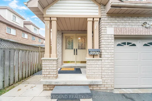
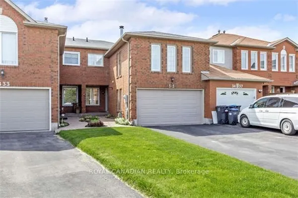
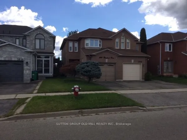
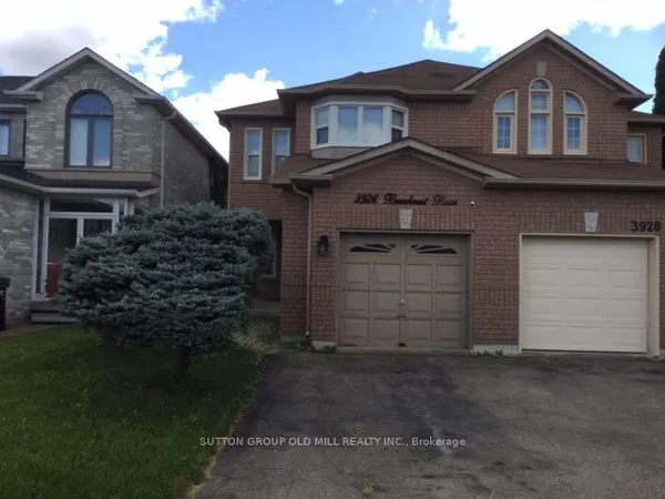
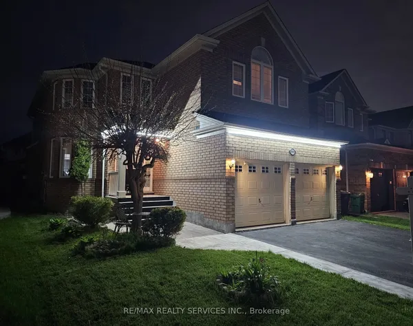
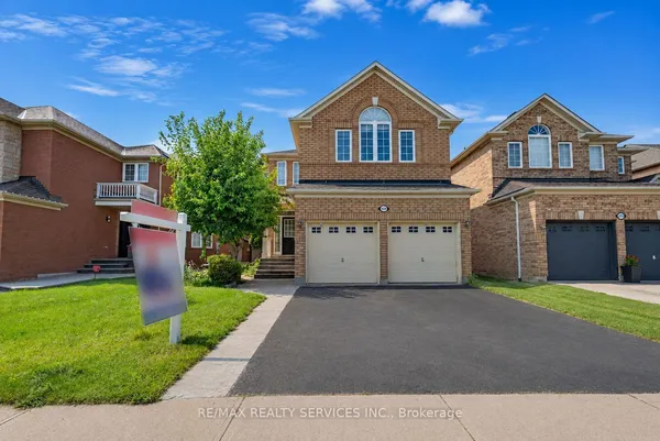
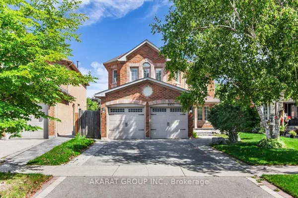
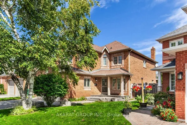
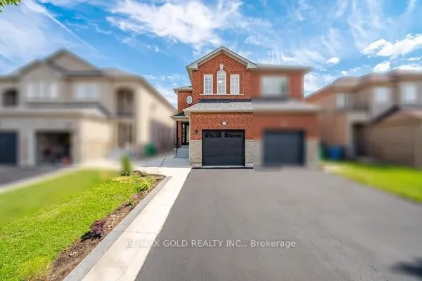
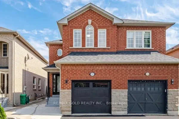
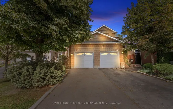
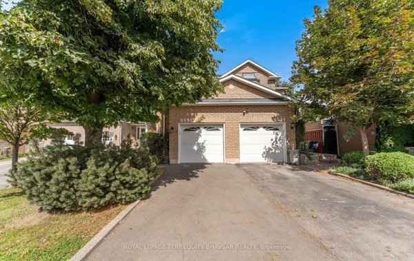
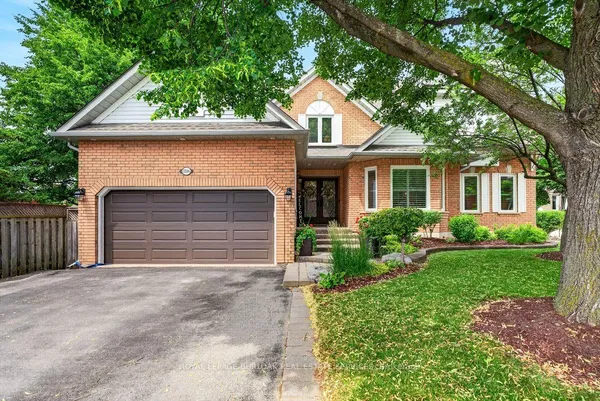
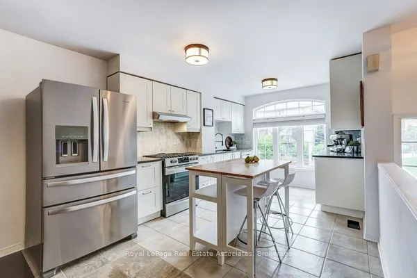
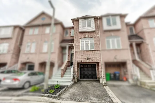
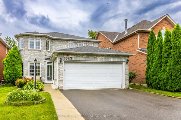
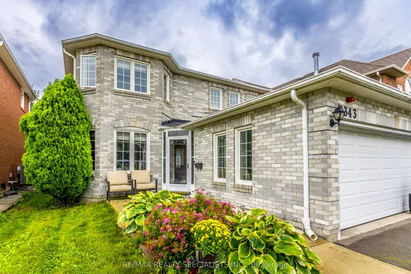
Almost everything in Lisgar was built between 1986 and the mid 2000s, so the housing is consistent: two storey detached homes in brick, most with attached garages, three or four bedrooms and a basement, on lots that are compact by 1950s standards but useful. Trelawny, the first phase from 1986, is unusual: it consists strictly of homes on cul-de-sacs with asymmetrical lots, arranged around Trelawny Circle, which gives you pie shaped rear yards and very little through traffic. Later phases toward Ninth Line and Britannia Road West, built in the 1990s and 2000s, follow more conventional crescents with a mix of detached homes, semi detached pairs and freehold townhouse rows. Many detached homes show the Craftsman influenced fronts of that period: gabled roofs, covered porches and pillared entries. Condominium apartments are rare here. Because the stock is 20 to 40 years old, the first round of roofs, furnaces and windows is now being replaced, which is worth checking on any tour.
Lisgar GO Station at 3250 Argentia Road, open since September 2007, sits on the Milton line near the Highway 401 and 407 interchange with 788 parking spaces and a MiWay connection on route 38 Creditview. Trains run in the peak direction on weekdays with GO buses at other times. MiWay routes along Derry Road West, Britannia Road West and Winston Churchill Boulevard, including route 45 Winston Churchill between Meadowvale Town Centre and Clarkson GO, connect to the Churchill Meadows Community Centre terminal, where route 9 Rathburn continues to City Centre Transit Terminal. Drivers are minutes from Highway 401 at Winston Churchill Boulevard and Highway 407 at Derry Road or Britannia Road, which makes Milton, Oakville and the airport all straightforward.
Lisgar has a full set of schools inside its own boundaries. Peel District School Board elementary schools include Osprey Woods Public School, Trelawny Public School and Kindree Public School, with Lisgar Middle School covering grades 6 to 8 for the streets around Trelawny Circle, Terragar Boulevard and Ninth Line. Lisgar Middle School feeds Meadowvale Secondary School on Edenwood Drive, open since 1981, just east of Tenth Line. On the Catholic side, St. Simon Stock Catholic Elementary School is on Lisgar Drive, St. Edith Stein Catholic Elementary School is on Osprey Boulevard, and Our Lady of Mount Carmel Catholic Secondary School, established in 1987, is at 3700 Trelawny Circle. French immersion is offered at selected Peel schools in the area. Catchments are redrawn as enrolment changes, so confirm the assigned schools for any address with both boards.
Osprey Marsh, at 6123 Ninth Line just north of Britannia Road West, is the signature green space: a series of stormwater ponds turned into a wetland park with a 1.5 kilometre loop trail that links to the Lisgar Meadow Brook Trail, plus benches and interpretive signs added by residents and the local Rotary club. Lisgar Fields at 3805 Doug Leavens Boulevard carries the organized sports with soccer fields, a ball diamond, tennis courts and a playground, and smaller parks such as Trelawny Woods, Johnny Bower Park, Miller's Grove Park and Union Park sit within the subdivisions. Daily shopping is the Metro plaza at Derry Road West and Tenth Line and the other plazas along Derry Road; larger trips go to Meadowvale Town Centre or Erin Mills Town Centre. Meadowvale Community Centre and Library to the east and the Churchill Meadows Community Centre and Mattamy Sports Park at 5320 Ninth Line to the south cover pools, gyms and lit turf fields.
Lisgar is built for families: newer detached homes, an elementary, middle and secondary school for both boards inside the neighbourhood, and parks and trails at the end of most streets. It suits commuters who drive west or north as much as those heading downtown, since Highways 401 and 407 are at the corner and Lisgar GO is on the Milton line. First time buyers can find semi detached and townhouse options in the later phases. It is less suited to anyone who wants a walkable main street or condo living, which are not part of the mix here.
From a hamlet at Derry Road and Winston Churchill Boulevard, originally called Switzer's Corners after landowner Samuel Switzer. It was renamed in 1871 for Lord Lisgar, Governor General of Canada from 1869 to 1872. The area became part of Mississauga in 1974, and the residential build out began in 1986 with the Trelawny subdivision.
Lisgar GO Station at 3250 Argentia Road opened in September 2007 on the Milton line. Trains run toward Union Station on weekday mornings and back in the afternoon, with GO buses covering other times. There are 788 parking spaces, and MiWay route 38 Creditview stops at the station.
A stormwater management pond system north of Ninth Line and Britannia Road West that doubles as a wetland park. A 1.5 kilometre loop trail circles it and connects to the Lisgar Meadow Brook Trail, and early settlers knew the low ground as Catholic Swamp. Benches and interpretive signs were added through a residents' association and Rotary project.
Usually yes. Osprey Woods, Trelawny and Kindree public schools, Lisgar Middle School, St. Simon Stock and St. Edith Stein Catholic schools, and Our Lady of Mount Carmel Catholic Secondary School are all inside Lisgar; Meadowvale Secondary School is just east. Confirm the catchment for your exact address with the Peel and Dufferin-Peel boards.
Highway 401 runs along the north edge with an interchange at Winston Churchill Boulevard, and Highway 407 forms the west boundary with access at Derry Road West and Britannia Road West. The 407 is tolled. Highway 403 is reached to the south via Winston Churchill Boulevard or Erin Mills Parkway.
Sources: en.wikipedia.org · heritagemississauga.com · en.wikipedia.org · en.wikipedia.org · en.wikipedia.org · dpcdsb.org