
Mississauga neighbourhood guide

Mineola

Mineola is one of the oldest residential areas in Mississauga, and it looks it in the best way: winding roads without sidewalks, houses set well back, and a canopy of oak, hickory, walnut and tulip trees that survives from the Carolinian forest. Cottages and farms gave way to houses after the QEW opened in the 1930s, most of the streets were in place by 1950, and the last lots filled after GO trains reached Port Credit in 1967. West of Hurontario Street, streets such as Kenollie Avenue, Indian Valley Trail, Pinetree Way, Inglewood Drive and Stavebank Road form the Mineola West cultural landscape on the City's Heritage Register, bounded by the QEW, Hurontario, the Credit River and the rail corridor. East of Hurontario, Mineola East is more compact and family-focused, with Port Credit Secondary School on Mineola Road East. Port Credit GO at 30 Queen Street East, the future terminus of the Hazel McCallion light rail line, is a walk or a short bus ride from most streets, and the shops and patios of Port Credit village sit just across the tracks.

Mineola homes by the numbers

Live from the MLS® feed · updated September 19, 2026

72 For sale now
29 New in 30 days
$1,824,800 Median asking price Middle half $1.1M to $3.1M
$858 Asking price per sq ft
50 days Median days listed
14% Listings with a price cut Median cut 5.5%

What is for sale: 56 detached homes · 14 townhouses · 1 condos · 1 semi-detached homes

Newest Mineola homes for sale

See all 73 listings
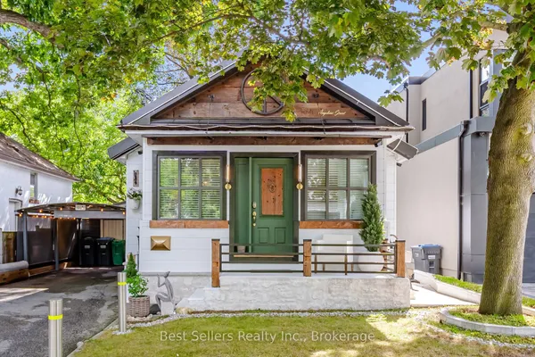
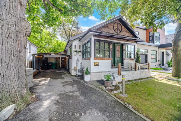
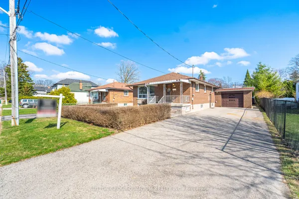
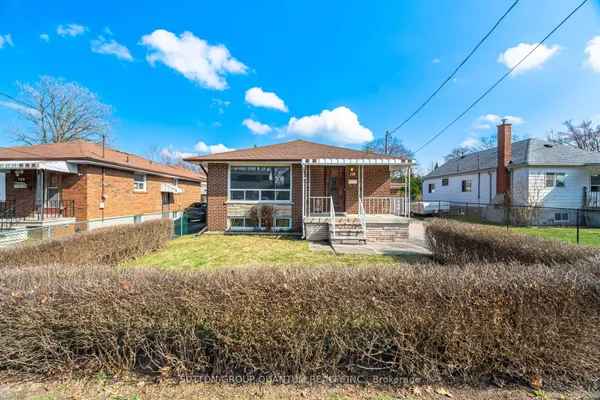
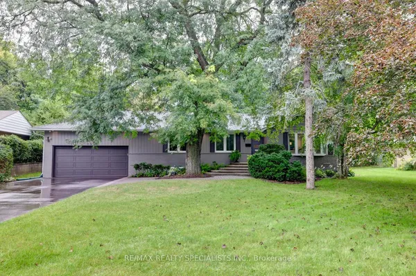
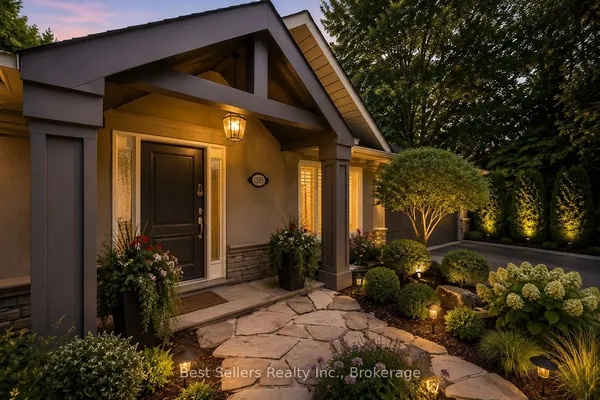
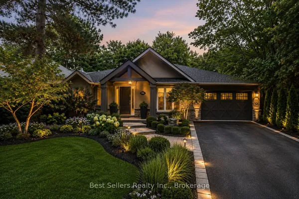
174 Angelene Street
174 Angelene Street — photo 2
1 / 29
New
For Sale
$1,199,000
2 bd · 2 ba
174 Angelene Street, Mississauga
3 days on market
MLS® W13792876 · Best Sellers Realty Inc.
Contact agent

New Mineola homes for sale land here first. Save this search and we email you the moment one is listed.

Where Mineola sits

Mineola sits south of the Queen Elizabeth Way and north of the CN rail corridor that carries the Lakeshore West line, with the Credit River on the west and Cawthra Road on the east. Hurontario Street splits it into Mineola West and Mineola East, and Port Credit begins just south of the tracks.

The homes you will find

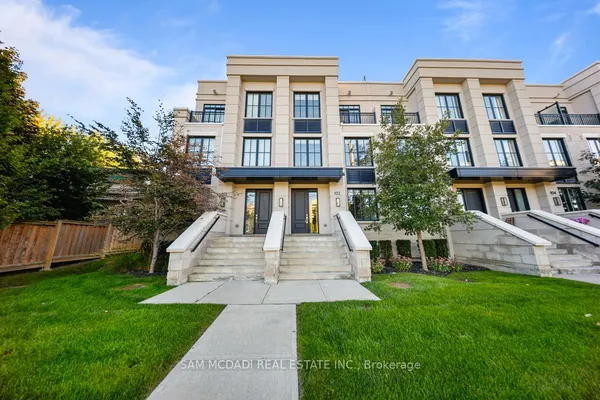
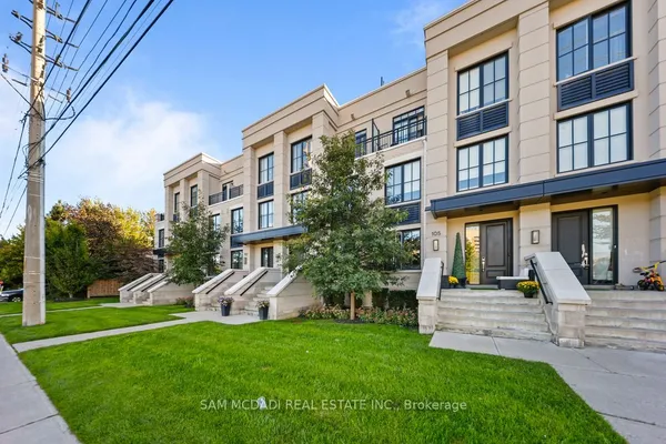
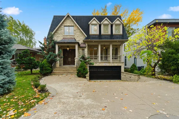
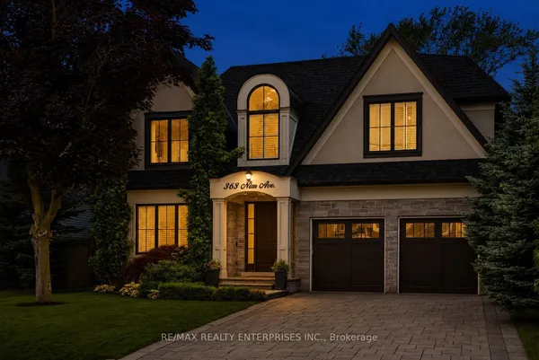
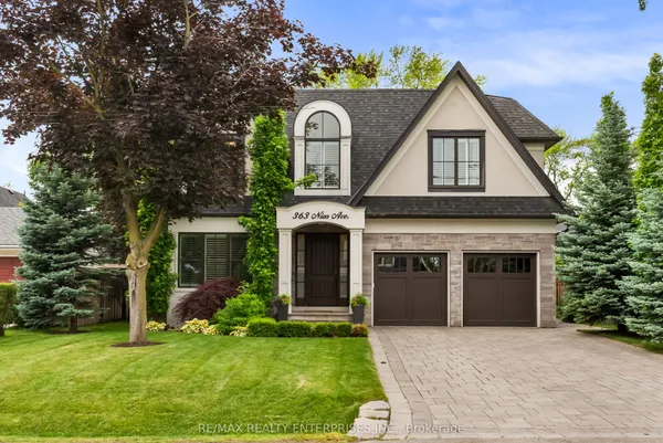
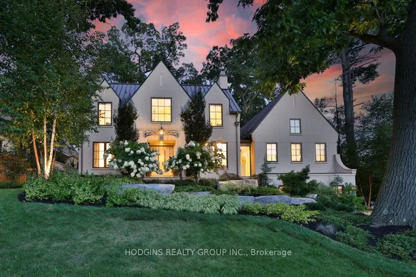
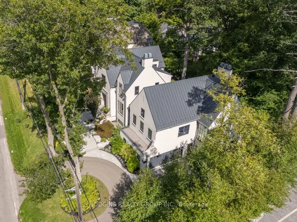
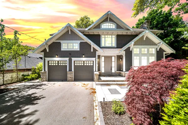
Housing in Mineola is eclectic by design. The City's heritage assessment of Mineola West describes two and two-and-a-half-storey early twentieth-century houses, pre-war and post-war one-and-a-half-storey homes, 1950s and 1960s ranch bungalows and a scattering of newer two-storey residences sharing the same street. The oldest surviving homestead on Stavebank Road dates to the 1890s. Lots in Mineola West run large, and the deepest back onto the Credit River ravine. Mineola East, between Hurontario Street and Cawthra Road, was laid out mostly from the late 1940s to the mid-1960s in bungalows and splits with frontages commonly in the 60 to 80 foot range, and it has become the district's rebuild zone, where original bungalows give way to custom two-storey houses. Townhouse rows are few and sit mainly close to Hurontario Street. Because Mineola West is a listed cultural landscape, every property there is on the Heritage Register whether or not the house itself is historic.

Getting around

Port Credit GO at 30 Queen Street East opened with the Lakeshore West line in 1967 and today offers trains to Union Station through the day, not just at rush hour, with 946 parking spaces and a Metrolinx mobility hub designation. MiWay's 2 Hurontario runs around the clock along the district's spine, 8 Cawthra covers the east edge, and 14 Lorne Park and 23 Lakeshore link the station to Clarkson. The Hazel McCallion Line, the 18-kilometre Hurontario light rail with 19 stops from Port Credit GO to Steeles Avenue, has been under construction since 2020; Metrolinx told Global News in April 2026 that it expects construction to finish in spring 2028, with testing after that. Drivers reach the QEW at Hurontario or Cawthra.

Schools

Kenollie Public School, a small kindergarten to grade 6 school of about 185 students on the west side, is the neighbourhood's own elementary school, and Mineola Public School serves the east side. Port Credit Secondary School at 70 Mineola Road East was the first secondary school in Peel and marked its centenary in 2019; Cawthra Park Secondary School, home to the Peel board's regional arts program, is the other public high school nearby. Catholic families use St. Timothy Catholic Elementary at 2214 Cliff Road or St. Luke Catholic Elementary at 1280 Cobalt Street, then St. Paul Secondary School in Lakeview. French immersion and French-language options are assigned by address through the Peel and Conseil scolaire Viamonde systems. Peel and Dufferin-Peel redraw catchments from time to time, so ask each board to confirm the school for a specific address.

Parks, shopping and daily life

The Credit River is the district's western wall, and Stavebank Road runs along its wooded bank. Kenollie Park and Spruce Park are the neighbourhood greens, and Cawthra Park on the east edge holds the Cawthra Woods interpretive trail, a fragment of old forest with marked wetland and bird habitat, across from the Carmen Corbasson Community Centre at 1399 Cawthra Road, which reopened in 2025 with a 25-metre pool, two ice pads, a gymnasium and an indoor walking track. South of the tracks you have Port Credit village along Lakeshore Road East for restaurants, cafes and the summer farmers' market, Port Credit Memorial Park and the Waterfront Trail on Lake Ontario, and the Port Credit library branch. Visual Arts Mississauga at 4170 Riverwood Park Lane offers classes a short drive upriver.

Who it suits

Mineola suits you if you want land, trees and quiet within walking distance of a GO station and a village main street. Mineola West draws buyers planning a long stay in a character house or a custom build on a ravine lot; Mineola East draws families and builders who want an original bungalow to renovate or replace, with Kenollie or Mineola Public School nearby. Commuters value the all-day Lakeshore West service, and the coming light rail line adds a second option. There are few condos here, so downsizers usually look to Port Credit instead.

Questions people ask about Mineola

How do I get to Union Station from Mineola?

Port Credit GO is on the Lakeshore West line, which runs trains to Union throughout the day and evening as well as at rush hour, and the 2 Hurontario and 8 Cawthra buses feed the station. From most Mineola streets the station is a walk or a short ride. Check the GO timetable for express trains, which skip some stops between Port Credit and Union at peak.

Is Mineola a heritage conservation district?

No. Mineola West is a cultural landscape listed on the City of Mississauga's Heritage Register under the 2005 Cultural Landscape Inventory, a lighter designation than a heritage conservation district. Listing means every property in the area is on the register regardless of the house's own merit, and the City reviews demolitions and major changes with the landscape's mature trees, sidewalk-free roads and deep setbacks in mind. Talk to Heritage Planning before you plan a rebuild.

Which schools serve Mineola?

Kenollie Public School on the west side and Mineola Public School on the east side for elementary, Port Credit Secondary School at 70 Mineola Road East for high school, with Cawthra Park Secondary as the nearby arts-focused option. Catholic students go to St. Timothy or St. Luke and then St. Paul Secondary. Confirm the catchment for your address with the Peel or Dufferin-Peel board, since boundaries do move.

What is happening with the Hurontario LRT?

The Hazel McCallion Line will run 18 kilometres with 19 stops from Port Credit GO north to Steeles Avenue in Brampton. Construction began in 2020 and was originally due in 2024; in April 2026 Metrolinx said it expects construction to wrap up in spring 2028, followed by systems testing before a final opening date is announced. The southern terminus sits at Port Credit GO, at Mineola's doorstep.

Are there ravine lots in Mineola?

Yes, along the Credit River on the west side, especially off Stavebank Road and Indian Valley Trail, where lots drop into the wooded valley. Credit Valley Conservation regulates building near the river and its slopes, so check its regulated-area mapping and budget for a geotechnical review before you plan an addition, pool or rebuild on a valley lot.

Sources: neighbourhoodguide.com · wahi.com · mississauga.ca · www7.mississauga.ca · www7.mississauga.ca · thepointer.com